
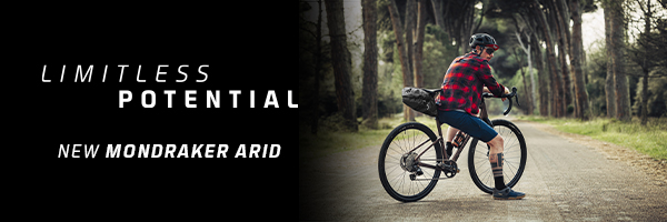


The Condor Peak Trail is located in the Angeles National Forest, offering stunning views of the surrounding San Gabriel National Monument. Maintained by the Lowelifes, Condor Peak Trail is our second in the non-profit’s Dream Trail series, supported by Fox Racing. Let’s check it out!

Condor Peak is a Dream Trail
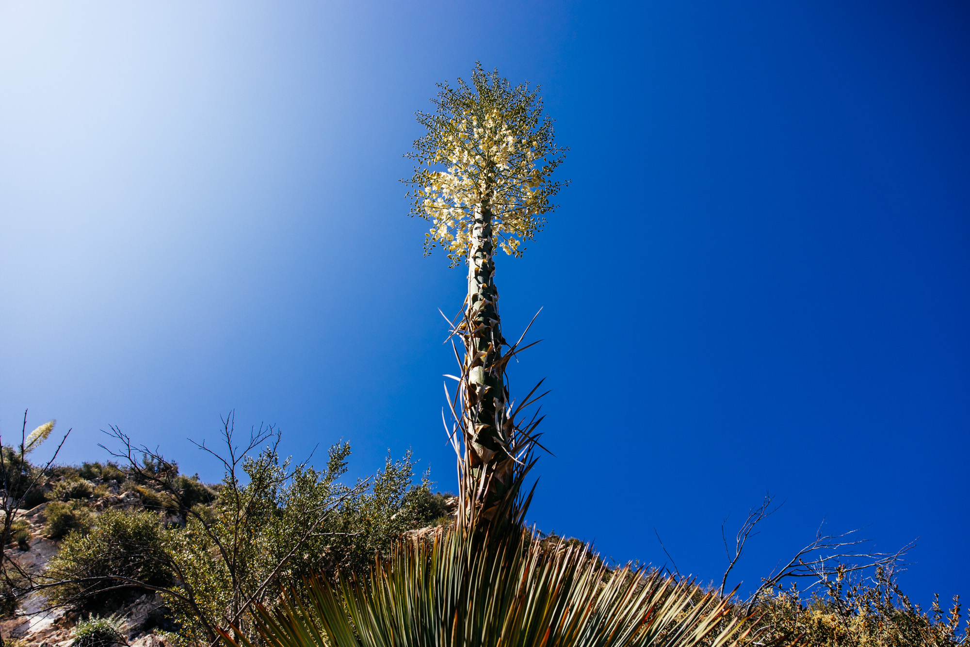
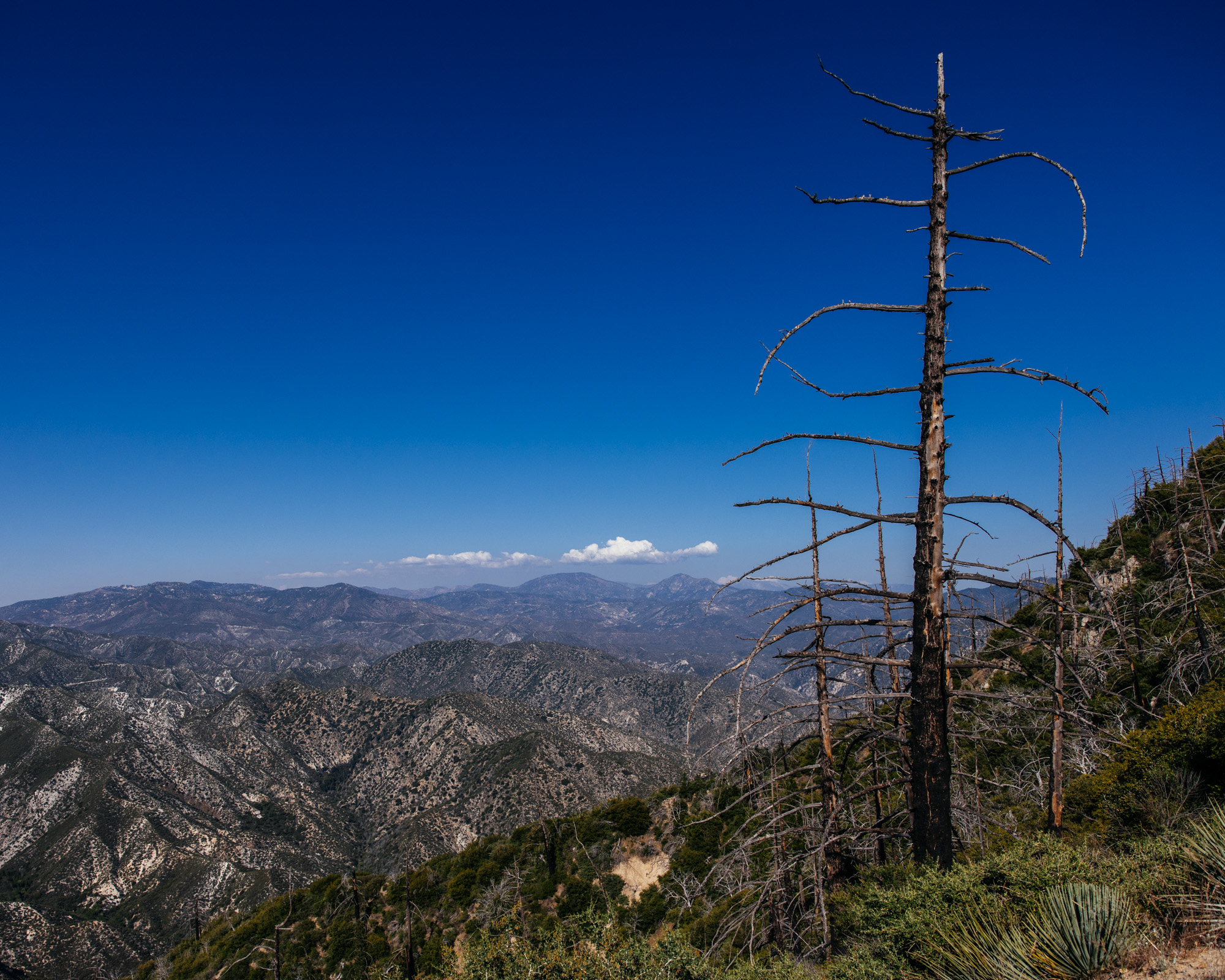
When it comes to classic San Gabriel Mountains riding, it’s hard to beat the Condor Peak Trail. Since the 2009 Station Fire, the trail has been in a state of disrepair. This bench-cut trail snakes its way up along the mountains before topping out at a wonderful overlook with 360º views of the region. It’s hot, wide open, with little to no shade, and a lot of exposure. During the right time of year, you can easily spend a full day enjoying all the Condor Peak Trail has to offer.
The Lowelifes RCC logged a total of 3,593 volunteer hours to restore this trail.

Condor Peak Trail Quick Hits
Difficulty: Intermediate
Distance: 14 Miles as an out-and-back
Elevation Gain: 3,600′
Estimate time to ride: 3 to 4 hours
Best time of year: Spring through Fall
Condor Peak Trail – LINK TO GPS ROUTE

History: What’s in a Name?
Condor Peak (5,442′) and its subsequent Peak Trail are located in the San Gabriel Mountains National Monument. The peak gets its name from the California condors that were once common in the area, particularly in the early 1900s. While the California condors were listed as an Extinct in the Wild species in the 1980s, after decades of reintroduction efforts, including captive breeding, they have slowly begun to rebuild wild populations. We’re not saying you won’t see a condor on Condor Peak Trail, but it’d be very, very rare! The last recorded sighting of a California condor on Condor Peak was in the early 1940s.


Need to Know
We don’t want to spoon-feed the adventure to you, but we do have a few pointers to help you plan for this ride. Especially if you’re new to riding in the San Gabriel Mountains.


Bike: Mountain Bike – Rigid, Hardtail, Full Suspension, or a drop-bar MTB. 2.3″ tire minimum, unless you enjoy über underbiking!


Water: The route features a year-round spring about halfway up the climb, so be sure to bring a water filter.

Exposure: Like many trails in the San Gabriel Mountains, Condor Peak Trail features lots of exposure. There are narrow sections of trail where you can clip your handlebars if you’re not careful with your line choice. If it’s your first time riding a bench cut trail in the San Gabriel Mountains, proceed with caution.


Poodle Dog Bush: Eriodictyon parryi, commonly referred to as “Poodle Dog Bush,” is a mountain shrub with showy purple flowers that resembles some sort of bushy lavender or Pride of Madeira plant. Yet, Poodle Dog Bush causes severe skin irritation. Imagine poison oak, multiplied by a power of ten! This species grows mostly in areas that have been disturbed by fire in decomposed granite soil in the higher elevations of the San Gabriel Mountains. Its hair fibers cause skin irritation, so it’s recommended you wear long sleeves and lightweight pants to ride Condor Peak Trail as the plant lines the singletrack in some areas.


Poison Oak: Yes, poison oak is present throughout the trail, particularly by the spring halfway up the climb, so be mindful of urushiol – the oil that causes irritation – on your skin and clothing. Again, it’s recommended to wear lightweight pants and long sleeves while riding.

Weather: The San Gabriel Mountains can be unforgiving in inclement weather. If rain is in the forecast, be advised of flash flooding. In the winter, it can also snow at higher elevations, and ice will be present on north-facing sections of the trail.


Routing
This is one of those instances where you ought to ignore Google Maps when navigating to the Condor Peak trailhead. Our route, linked above in Quick Hits, or below in map form, shows the place to park off Big Tujunga Canyon Road, called Vogel Flat Picnic Site. There’s a large dirt lot where you can park. From there, the trail is a bit of a heft up, with water bar stairs, but it avoids a series of ups and downs when starting at the “other” Condor Peak trailhead. The other trail is commonly used by hikers. Or, if you want some extra miles and climbing, you can ride from Sunland along Big Tujunga Canyon Road.


Don’t be discouraged by the hike-a-bike sections, they’re well worth the reward!
This is an out-and-back trail. Condor Peak Trail eventually dead-ends at Mendenhall Ridge Road. This Forest Service road goes to Mount Gleason in the East and Little Tujunga Canyon Road to the West. For the sake of most riders’ itinerary, the saddle marked as the terminus of the route we’re using is typically where people turn around to go back down the trail.

See the gallery for more stunning vignettes from this Dream Trail ride. If you have any notes about your experience riding Condor or suggestions for bigger, all-day routes featuring the trail, drop them in the comments!
Condor Peak Trail Route Map
Please, as with all trail activities, observe the Leave No Trace Principles. Be sure to yield to uphill traffic. Be nice, say hi, and in general, when you’re visiting new locales, be nice to the locals. :-)

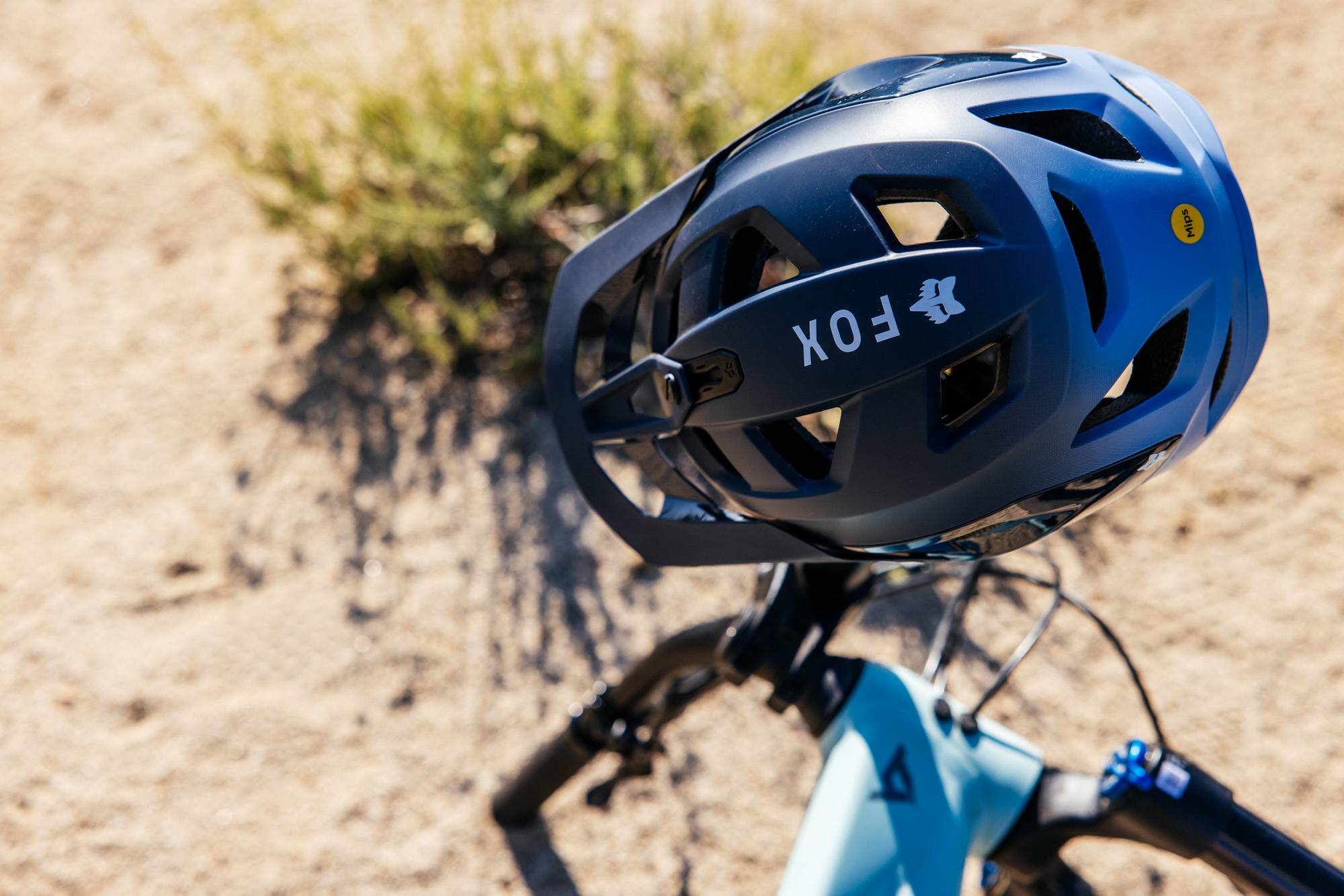
We’d like to thank Fox Racing for supporting our Dream Trail series with the Lowelifes. Proceeds from this series were donated to the non-profit. We want to help keep the trails of the Angeles National Forest open and flowing for all to use. The riders pictured, Steph, Matt, and Eric, all worked on Condor Peak Trail.